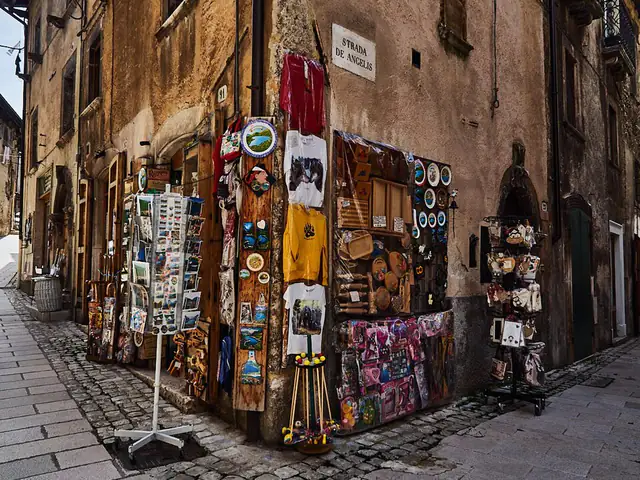
Scanno
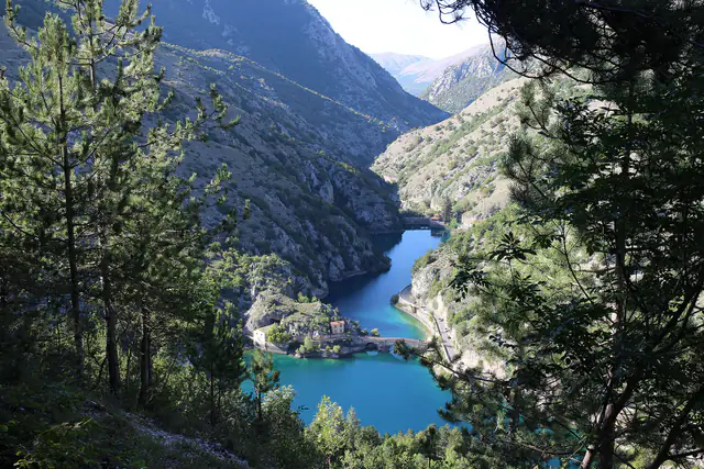
AbruzzoA stone village in the Sagittario valley, minutes from the lake that looks like a heart from above: shepherds, goldsmiths and alleys that turn into…

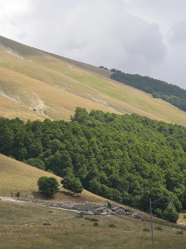
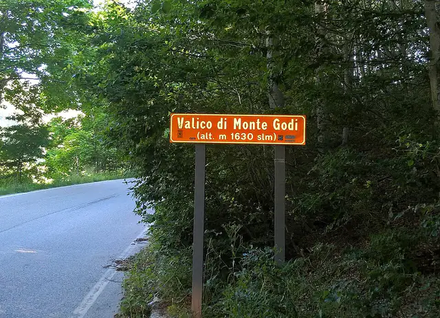
A grassy plateau at 1,630 metres, suspended between two valleys, where the road from Scanno crosses the mountain before descending to Villetta Barrea. Passo Godi is one of those places where the Apennines open up: pastures, distant flocks and a network of paths in summer; snow for snowshoes in winter.
A stone village in the Sagittario valley, minutes from the lake that looks like a heart from above: shepherds, goldsmiths and alleys that turn into…
Scanno's mother church is a church of local stone, with a bell tower thirty-five metres high, a portal with carved doors showing two skulls and, in…
For those starting from the pass it is the most complete route; the Y7 path, from Scanno, is the gentlest.
Full green and long days: one of the loveliest months for walking.
A grassy plateau at 1,630 metres, suspended between two valleys, where the road from Scanno crosses the mountain before descending to Villetta Barrea. Passo Godi is one of those places where the Apennines open up: pastures, distant flocks and a network of paths in summer; snow for snowshoes in winter.
It is the pass that links Scanno and the Sagittario valley with the Alto Sangro and the Abruzzo, Lazio and Molise National Park. It has a monumental beech about a kilometre from the pass, a network of paths and a landscape made of pastures.
Passo Godi is a mountain area near the Monte Godi pass, at 1,630 metres, in the central Abruzzo Apennines, between Scanno and Villetta Barrea. It lies between Monte Godi, to the west, and Serra Rocca Chiarano, to the east, on the eastern edge of the Abruzzo, Lazio and Molise National Park. The road that crosses it is the SR 479 Sannite, the same one that climbs to Scanno from the Sagittario Gorges.
The yellow route follows the roads and links Passo Godi to nearby places; the dotted line is the short connection from the road to the place.
Data: © OpenStreetMap contributors (ODbL) · Relief from AWS Terrain Tiles (SRTM, EU-DEM and other open sources).The pass is also a watershed: on one side the water flows towards the Aterno-Pescara basin, on the Sagittario and Scanno side, on the other towards the Sangro basin, on the Villetta Barrea side. In a few kilometres the road goes from the alleys of Scanno to the high-altitude meadows.
The local economy lives on tourism, but also on transhumant farming of cows, goats and sheep and on beekeeping. In summer, in the shepherds' stazzi (sheepfolds) you can see cheese being made. Among the plants, the park hosts rare species such as Geum rivale and the black false hellebore, with its dark flower.
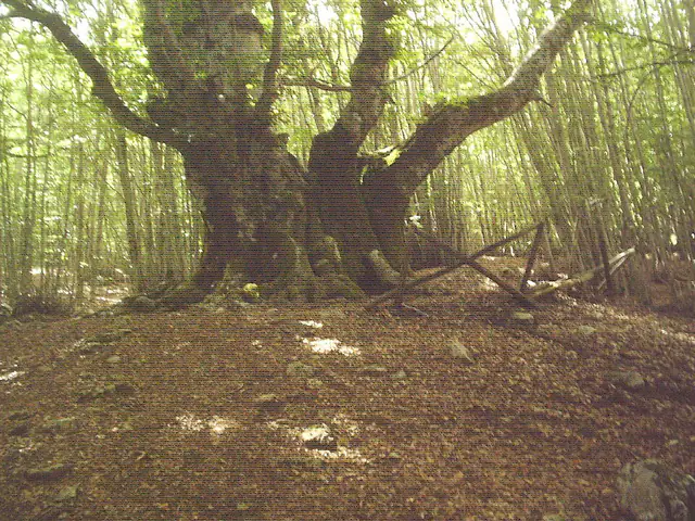
About a kilometre from the pass, in the direction of Villetta Barrea, a path of about a hundred metres leads to the Pontone monumental beech, the largest in the park. It is not a single tree, but three neighbouring beeches fused together, centuries old: the sources give a trunk of over eight metres in circumference and a height of about twenty-five metres.
Many paths start from the pass. The one climbing from Scanno, the Y7, is considered the gentlest; for those starting from the pass the Monte Godi loop is the most complete route, and other paths lead towards Serra Rocca Chiarano. Monte Godi reaches 2,011 metres and Serra Rocca Chiarano 2,262.
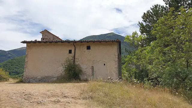
In summer you walk among aromatic herbs and pale rocks; nordic walking, cycling and mountaineering are also practised. Around the pass there are also the church of San Liborio, along the road towards Scanno, and that of San Lorenzo at Iovana.
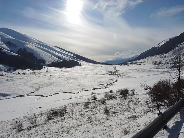
With snow the plateau changes its face: the pastures turn white and it becomes a destination for snowshoe walks, as well as cross-country skiing and other snow activities. There is also a small ski resort on the pass. In winter, to drive up you need winter tyres or chains on board.
In the surroundings are the Gola dell'Orso (Bear Gorge), a ravine, and the Serra di Ferroio, where a stele marks the place where Pope John Paul II used to go to pray.
From here you descend to Villetta Barrea and Lake Barrea, in the heart of the National Park; in the other direction you return to Scanno and Lake Scanno.
From June to October for walking and for the pastures, with September and October for the colours; from December to March, with snow, for snowshoe walks. Month by month, below you will find what to expect.
A plateau with a few precise points to look for.
About a kilometre from the pass: three beeches fused together, centuries old, with a trunk of over eight metres in circumference.
For those starting from the pass it is the most complete route; the Y7 path, from Scanno, is the gentlest.
In summer, in the stazzi you can watch cheese being made.
A ravine near the pass, also called Forra della Fucicchia.
Best time: from June to October. The bars show how well suited the month is: the taller, the better.
Snow on the plateau: a destination for snowshoe walks; to drive up you need winter tyres or chains.
The heart of winter: snowshoe walks and cross-country skiing on the snowy pastures.
Snow still present at altitude: the last snowshoe walks of the season.
The thaw: paths still snowy or muddy up high.
The pastures turn green again and the first plants flower.
Full green and long days: one of the loveliest months for walking.
The coolness of altitude and the aromatic herbs: paths and loops are at their best.
Walking is pleasant and cheese is made in the stazzi.
Soft light and fewer people: pleasant days on the paths.
The beech wood lights up with colours: it is the moment of the monumental beech.
First cold: short days, and snow can arrive early.
With snow the plateau fills with snowshoers.
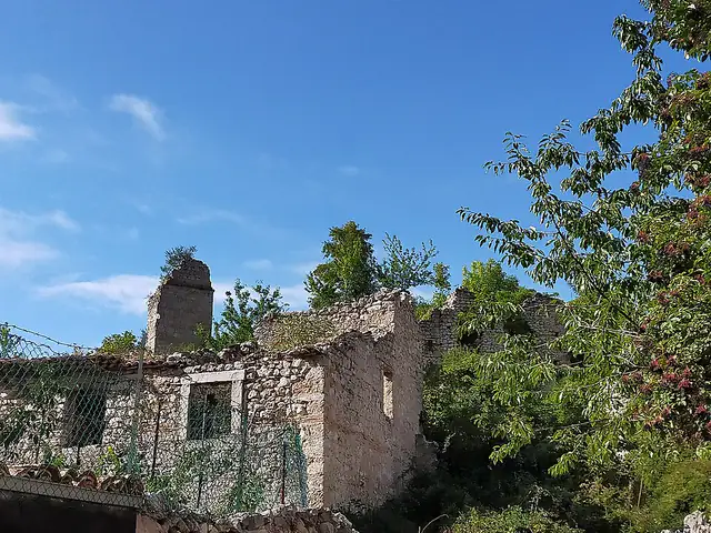
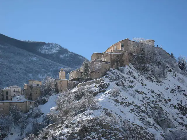
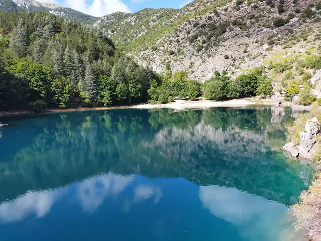
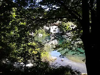
Postcards from the area, with the straight-line distance.
Green pastures, mountain coolness and paths among aromatic herbs.
The beech wood lights up with colours and the plateau is almost empty.
Compact snow on the pastures: a destination for snowshoe walks.
On the SR 479, between Scanno and Villetta Barrea, at 1,630 metres above sea level, between Monte Godi and Serra Rocca Chiarano, on the eastern edge of the Abruzzo, Lazio and Molise National Park.
Read more: Where Passo Godi isThe pass is at 1,630 metres; Monte Godi reaches 2,011 metres and Serra Rocca Chiarano 2,262.
Read more: On foot: paths and loopsBecause on one side the water flows towards the Aterno-Pescara basin, on the Scanno side, and on the other towards the Sangro basin, on the Villetta Barrea side.
Read more: The watershed between two valleysThe high-altitude pastures, the Pontone monumental beech, the shepherds' stazzi and the paths towards Monte Godi and Serra Rocca Chiarano.
Read more: The Pontone monumental beechAbout a kilometre from the pass, in the direction of Villetta Barrea, along a path of about a hundred metres: it is three beeches fused together, centuries old.
Read more: The Pontone monumental beechThe Monte Godi loop for those starting from the pass and, from Scanno, the Y7 path; others lead towards Serra Rocca Chiarano.
Read more: On foot: paths and loopsSnowshoe walks above all, and other snow activities such as cross-country skiing; to drive up you need winter tyres or chains.
Read more: Passo Godi in winterYes, along the SR 479, with a climb of hairpin bends on the Scanno side; in winter you need winter tyres or chains.
Read more: Where Passo Godi isFrom June to October for walking, with September and October for the colours; from December to March, with snow, for snowshoe walks.
Read more: When to go, month by month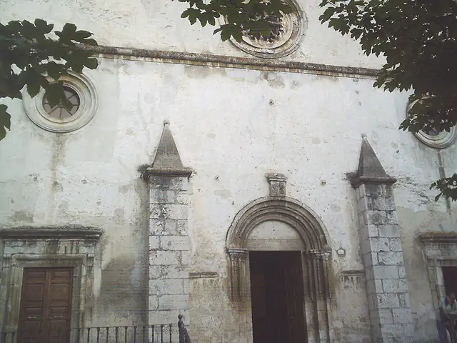
 10 km
 11 km
 13 km
 13 km
 15 km
 15 km